Suburb Profiles
Overview
In the early days Wooragee was part of a run known as “Reids Run”. “Reids Run” joined “Mackays Run” one point of the boundary being at the huge rocks known as the “Three Sisters” near Woolshed. “Reids Run” extended through Wooragee to the gap leading out of the basin. And during the gold rush days there where two hotels, a bakery and church.
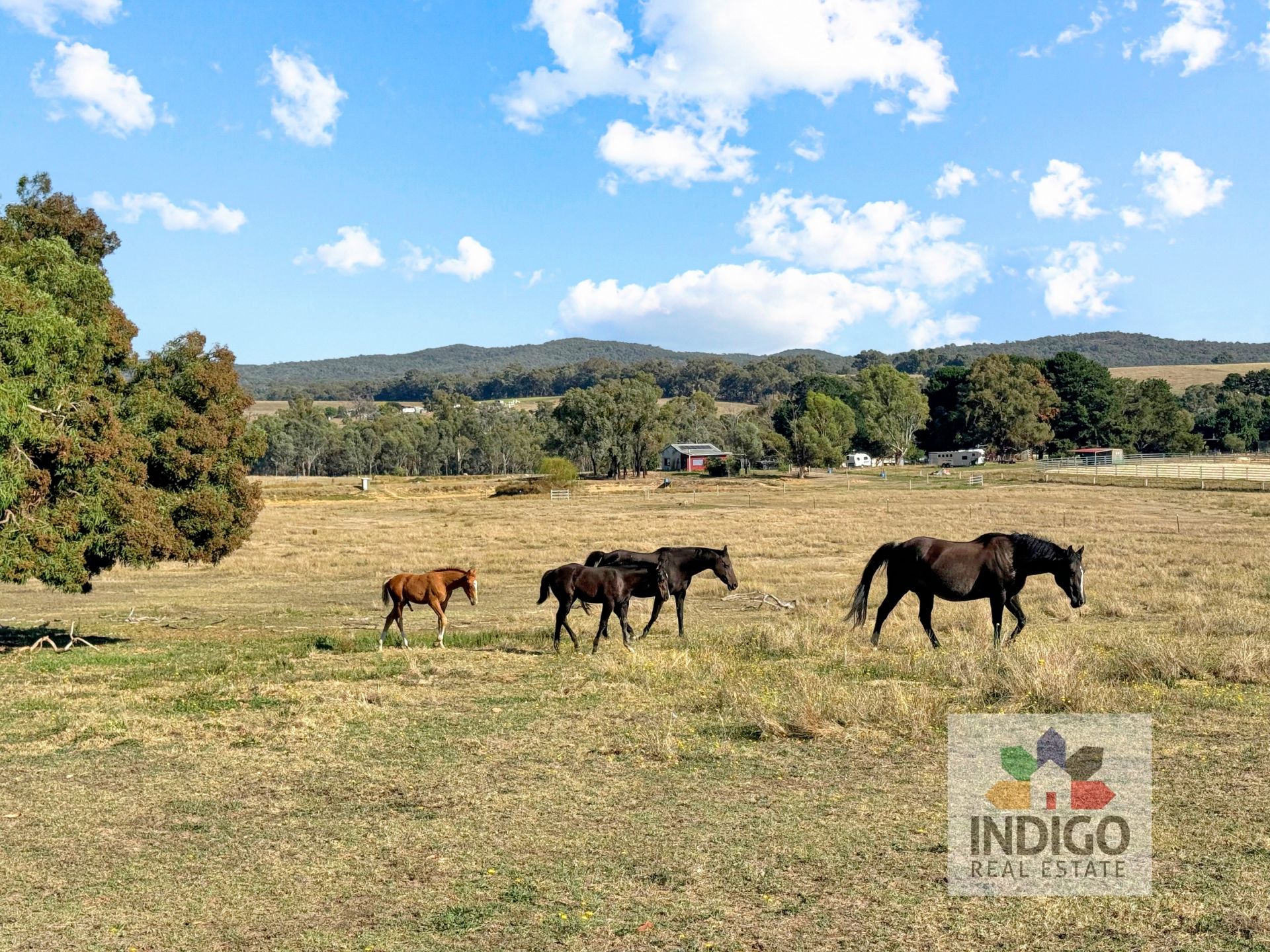
Wooragee is a small community of farming properties and lifestyle allotments located on the Beechworth Wodonga Road. In 1840 David Reid took on Wooragee as a sheep run and formed a station home at the West end of Wooragee. Sheep were shepherded along Spring Creek and Mayday Hills (now Beechworth).
Today Wooragee has its own primary school which is popular amongst locals in and around the region, tennis courts, community hall and various farms and other businesses located amongst the hills. Wooragee has a very strong community spirit and properties here are sought after.
Key Information:
Distances
|
Melbourne |
Sydney |
Canberra |
Wangaratta |
Wodonga |
Yackandandah |
Chiltern |
|
293kms |
590kms |
375kms |
45.3kms |
29.7kms |
13.3kms |
26kms |
Population: 336 (2011)
Map
Properties In Wooragee